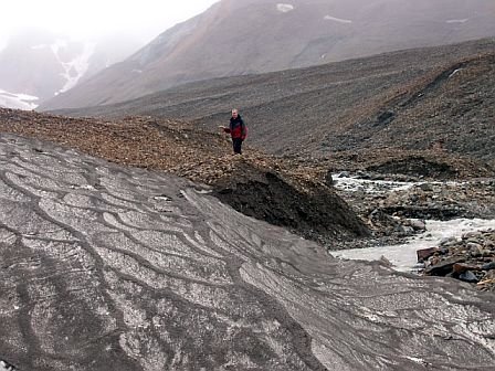
This was the "work" part of my summer vacation - walk up to the end of a glacier, turn on the GPS unit, and walk around it as much as possible (maybe a little more complicated than that, but that's the basic idea). Underneath all that rock on the left is glacier ice. Snow in the foreground added some complications for determining where the glacier edge lay, but the snowfields in mid-July were mostly gone.
 Context for the glacier - the white glacial ice is far uphill, and significant quantities of snow still further uphill, so this glacier is going to lose mass.
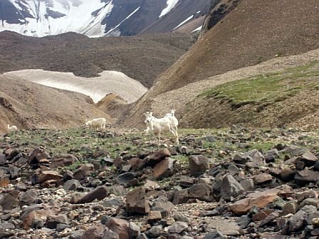
Wild Dall sheep in the foreground, rock-covered glacier in the background. I'm a tiny black speck on the horizontal rock, towards the right side, just beneath a dagger-point of snow.
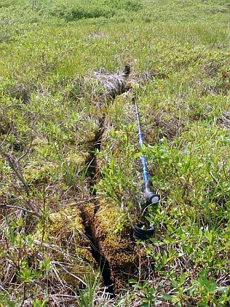 This is a weird crack in the tundra (also included to show there's a lot of greenery at Denali). I've seen the tundra torn up before by landslides, but this one looks like someone took a knife and cut it cleanly. I have no explanation for it.
No comments:
Post a Comment
Note: Only a member of this blog may post a comment.